(May 27, 2016)
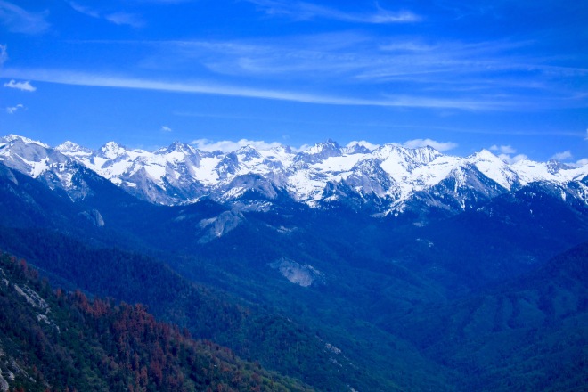
The real Kern River Canyon, the upper end, can only be experienced by foot and it takes days to get into it. It is one of the most impressive hikes I have ever done. Many years ago I did a 140 mile stretch of the John Muir Trail, starting in Yosemite Valley. More than two weeks later, my partner and I crossed Forester Pass some 13,000 ft. high, and dropped down into into the magnificent upper Kern River Canyon where the Kern River formed into a cascading, clear water, mountain stream brim full of fat brown and rainbow trout. The canyon was a mountain fast of ponderosa pine and incense cedar at lower elevation, void of humans except for a smattering of backpackers collected at some steaming hot springs along the river, all soaking away their aches, cleaning out blisters, and taking a soothing shave. For two days we hiked downward along the river before climbing out and over the rim of the canyon over the Kaweah range of mountains (note Sequoia photos from Moro Rock below—this is what you must hike over to get out of the Upper Kern Canyon on the other side!).
Had we continued south, out the Canyon—maybe another 25 or 30 miles or more—-we would have come out in a town called Kernville. Hwy. 178 from Bakersfield to Ridgecrest at the edge of the Mojave Desert is the only place the Sierras can be crossed by car before going another 100 or more miles north to Tioga Pass in Yosemite—and that is only good during the summer and Fall months.. Kernville can be reached by a fork off 178. That is the last hwy passing east and west where the Sierras can be crossed year round, weather providing.
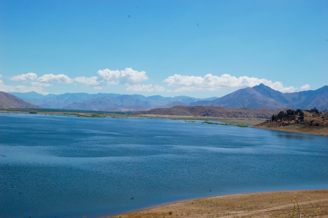
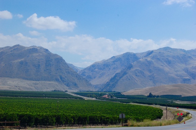
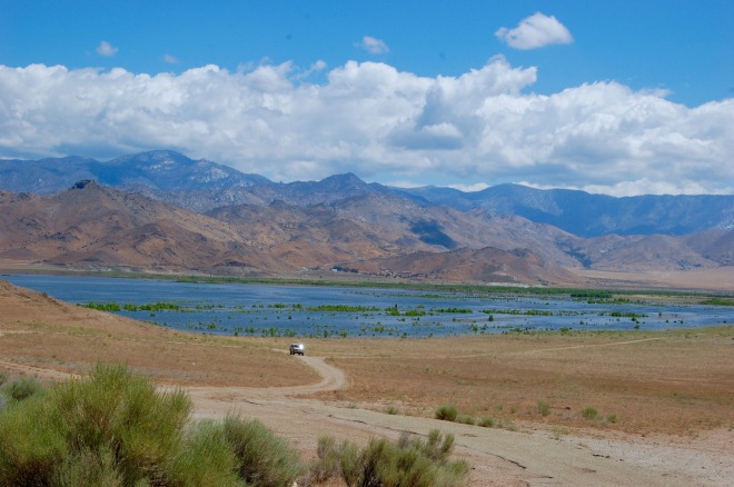
Whenever I cross the southern Sierras, I know I am on my way to Death Valley or sometimes even Arizona, though it is a long and out of the way drive to southern Arizona. The Kern River continues to flow out the lower valley/canyon just south of Kernville. 178 was constructed to run parallel with the Kern River up to Lake Isabella.
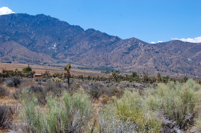
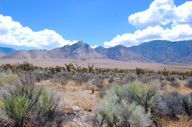
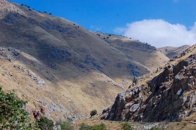
It is my preferred route to Death Valley. It’s hardly the sublime beauty of the great northern forests or the California coastline, but it has a beauty and ruggedness all its own. It’s where three geographic regions come together like chocolate, vanilla, and strawberry to form Neapolitan: the Sierras, Mojave, and the Central Valley. From the west, the Valley snakes it way like the ganglia of living organism up along the Kern River through one of the higher walled canyons into the Sierra foothills, where the granite and timber of the southern Sierras comes crashing down on the Joshua tree spattered Mojave desert and pressing in on the Valley oak lands and foothills.
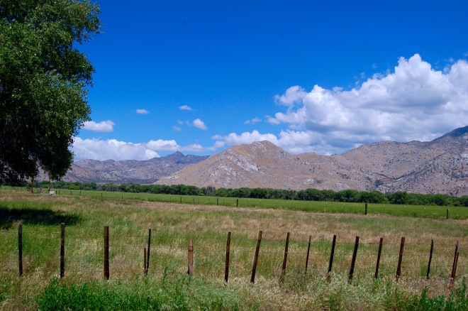
It’s a unique blend of high steep mountains, world class desert, and grassy steppe. And the contrast is every bit as extreme as the maple woods of New England except instead of color in the leaves, you get endless miles of green wild grass and wildflowers that turn gold by early summer. I love leaving the last orange groves of the Valley and entering into the canyon—for me, it is like strapping into my seat for a good movie…knowing the next movie is going to be the stark and remote valleys of Death Valley.